Upper Elkhorn Creek
Cameron Peak Post-Fire Restoration
Project Overview
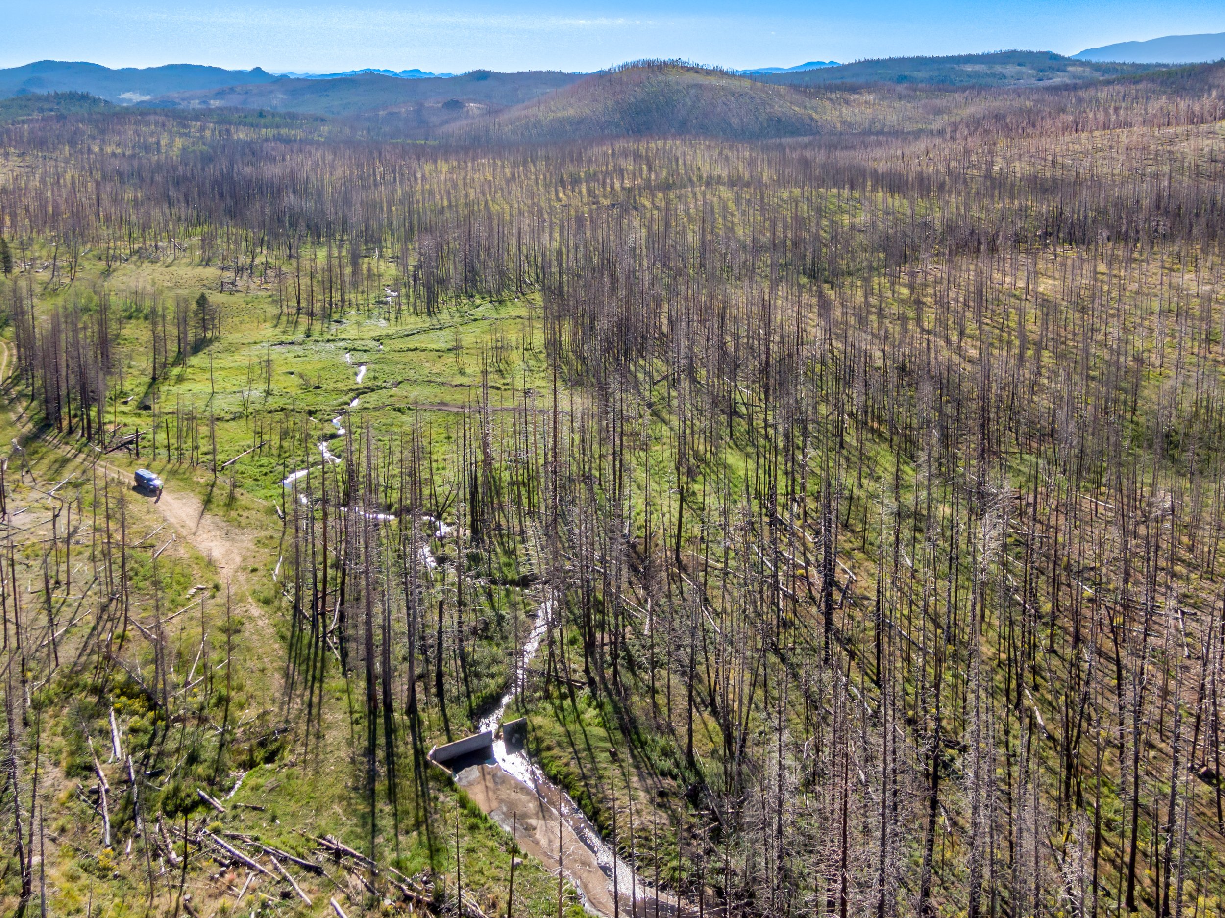
Upper Elkhorn Creek was determined to be a high priority site to meet our water quality objectives as well as US Forest Service values, and this site ranked in the top five of over two dozen sites in CPRW’s prioritization. It is located within a moderate severity burn area outside of Wilderness designation areas. Approximately 4% of the watershed was mulched in 2022. The site has been heavily influenced by not only the Cameron Peak Fire, but also current and past land uses, such as grazing and logging, that have likely led to degradation of the riparian ecosystem.
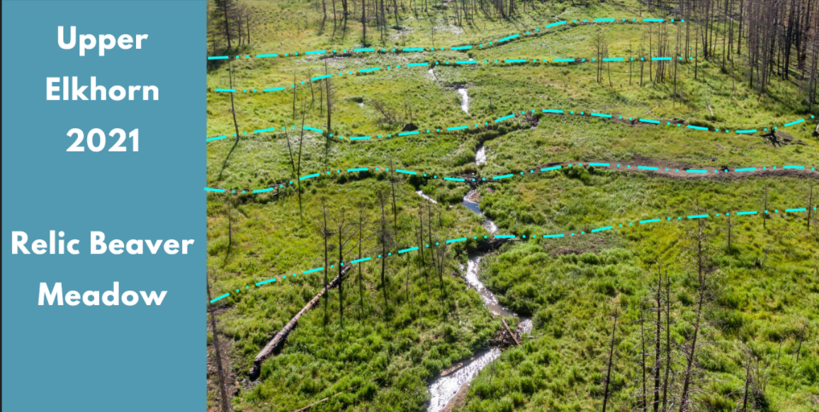
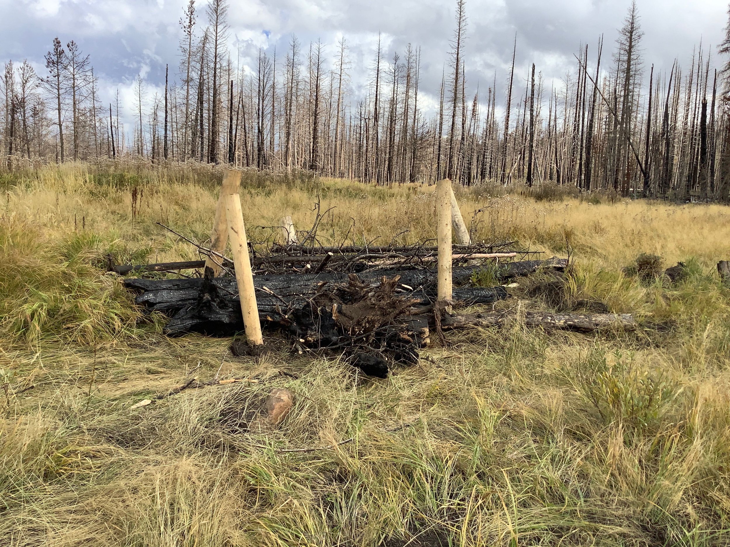
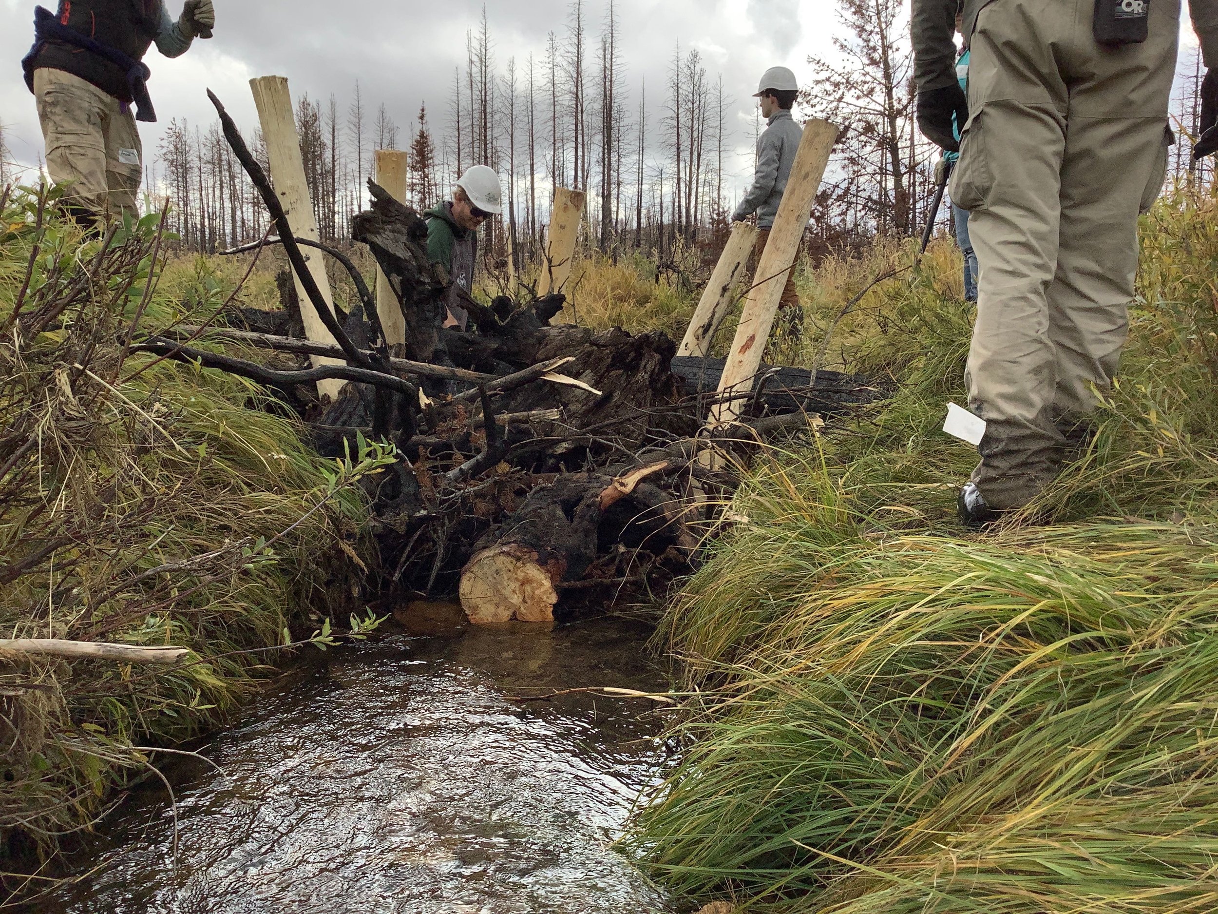
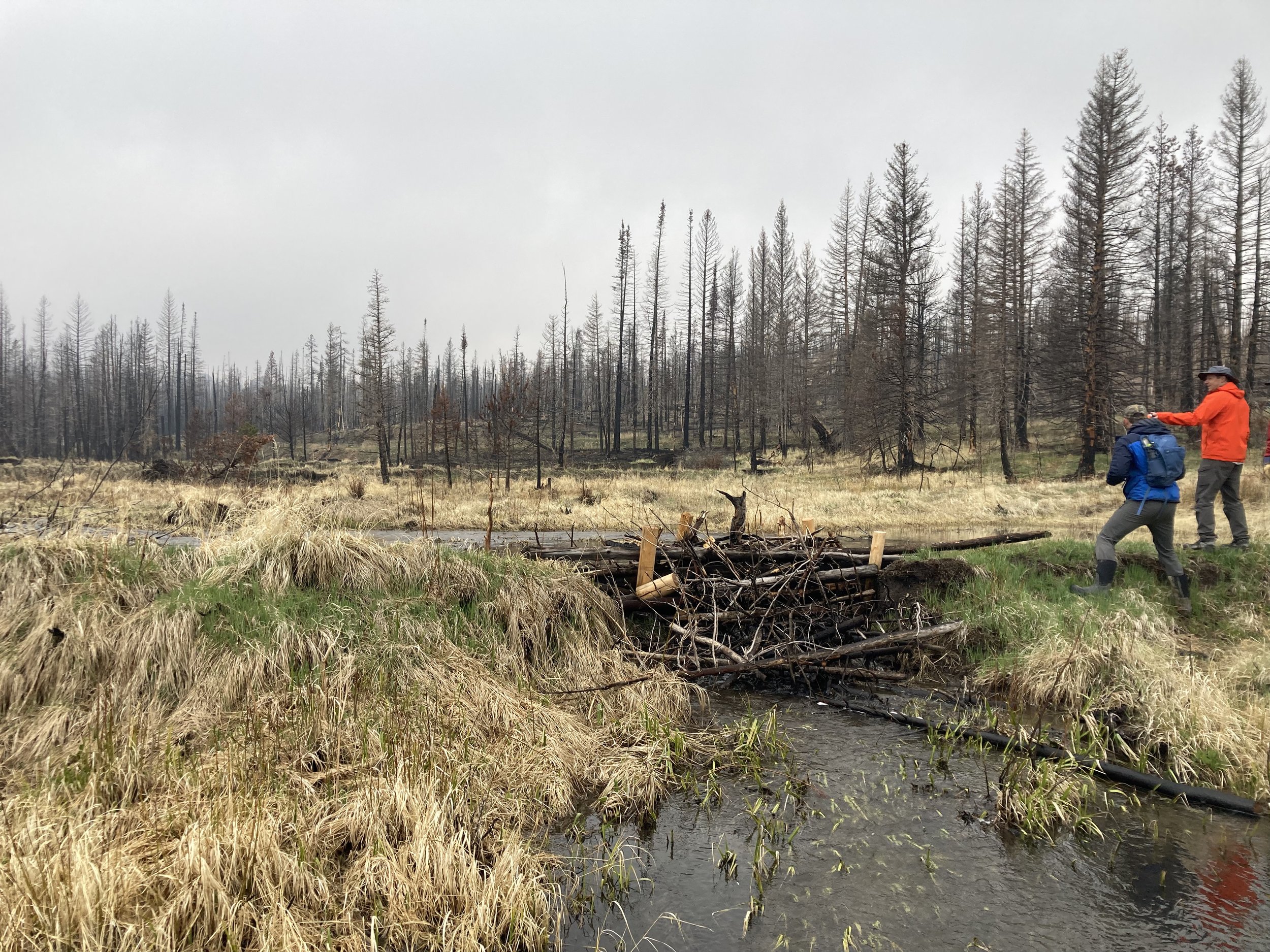
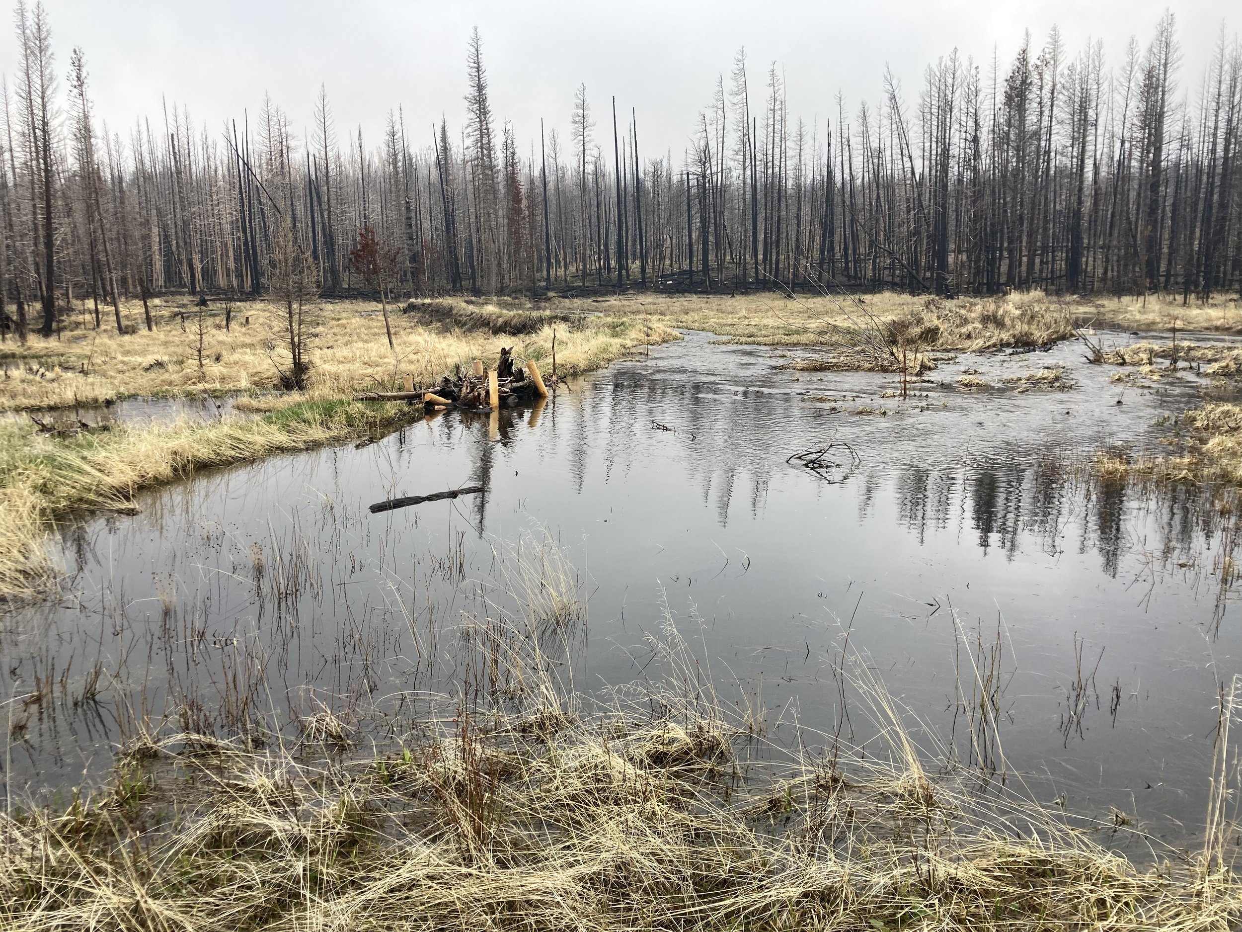
Low-tech process-based restoration techniques were used at this site. Structures were strategically placed at locations with significant incision, relic beaver dams, or riparian degradation to increase roughness, reduce flow velocities, and promote sediment deposition both behind features and on the overbank. These features will enhance nutrient uptake while increasing wetland and aquatic habitat value.
Elkhorn Creek Burn Severity (Courtesy of Ayers Associates)
Elkhorn Creek Post-Fire Site Plan (Courtesy of Ayers Associates)
Post-Fire Treatment(s)
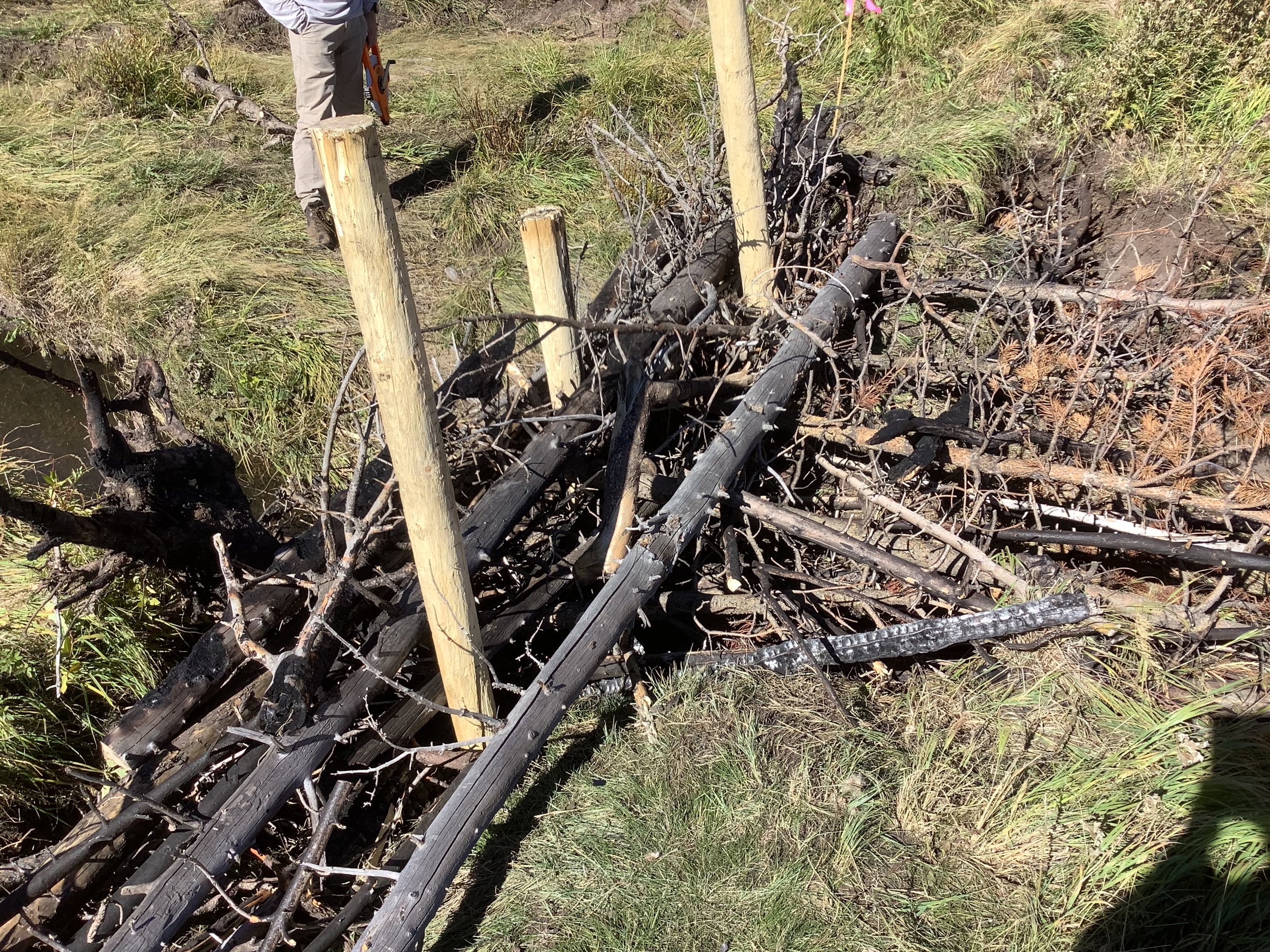
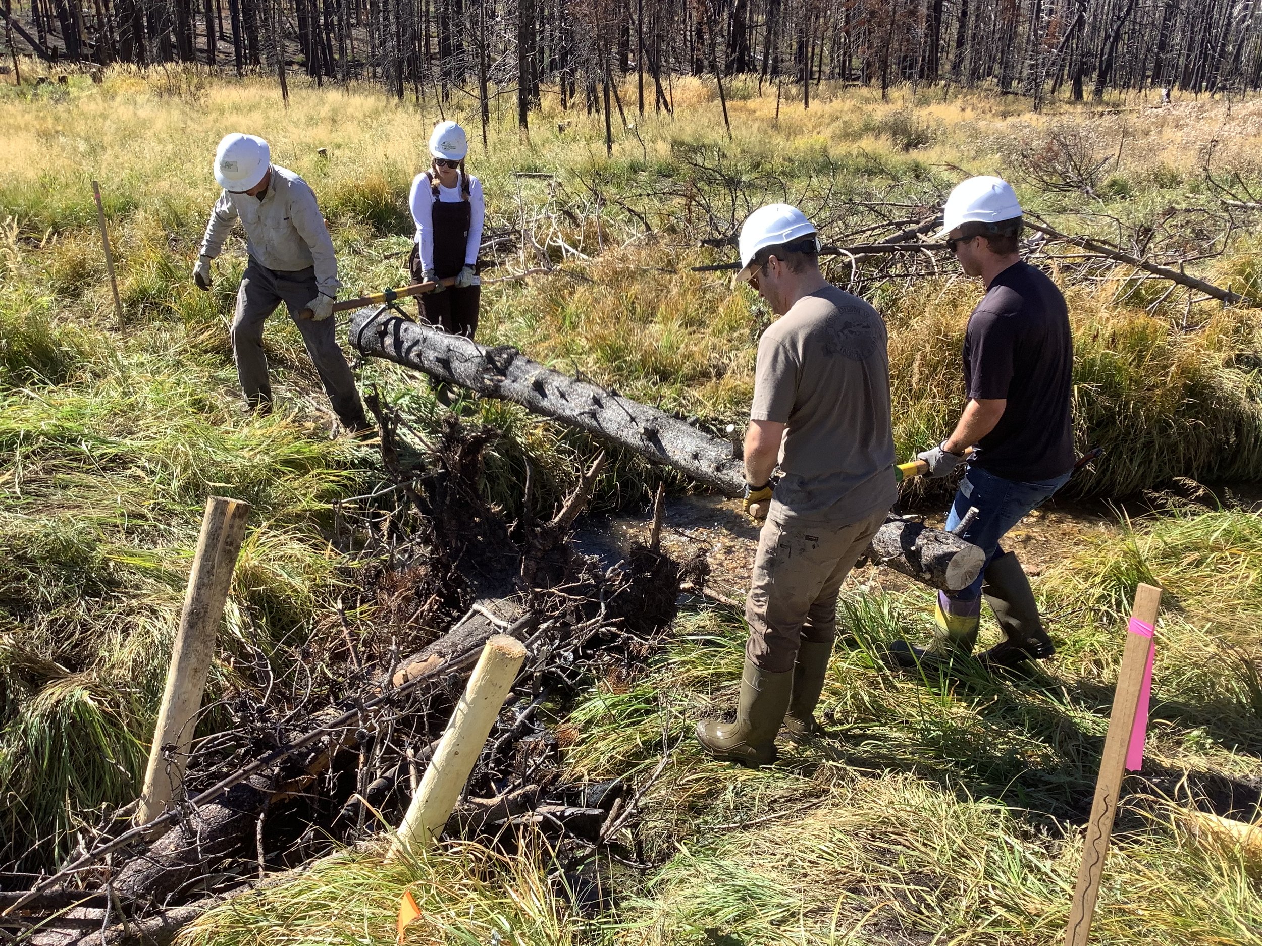
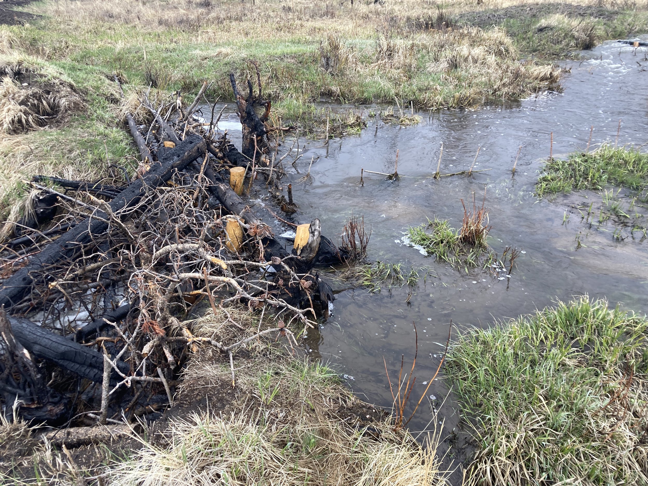
Log Structures – Burnt trees were felled, placed, and interlocked in the channel to increase roughness, reduce flow velocity, and enhance sediment deposition. These features will limit flow velocities and shear stress that result in erosion. Log structures will also return flow to the overbank areas, reducing incision and rehabilitating the floodplain area. On-site burnt material were primarily used. These features were field fit by the design team and placed to encourage sediment deposition. Placement will utilize the relic beaver dams, where feasible, to reintroduce water areas behind the dams and promote riparian vegetation growth.
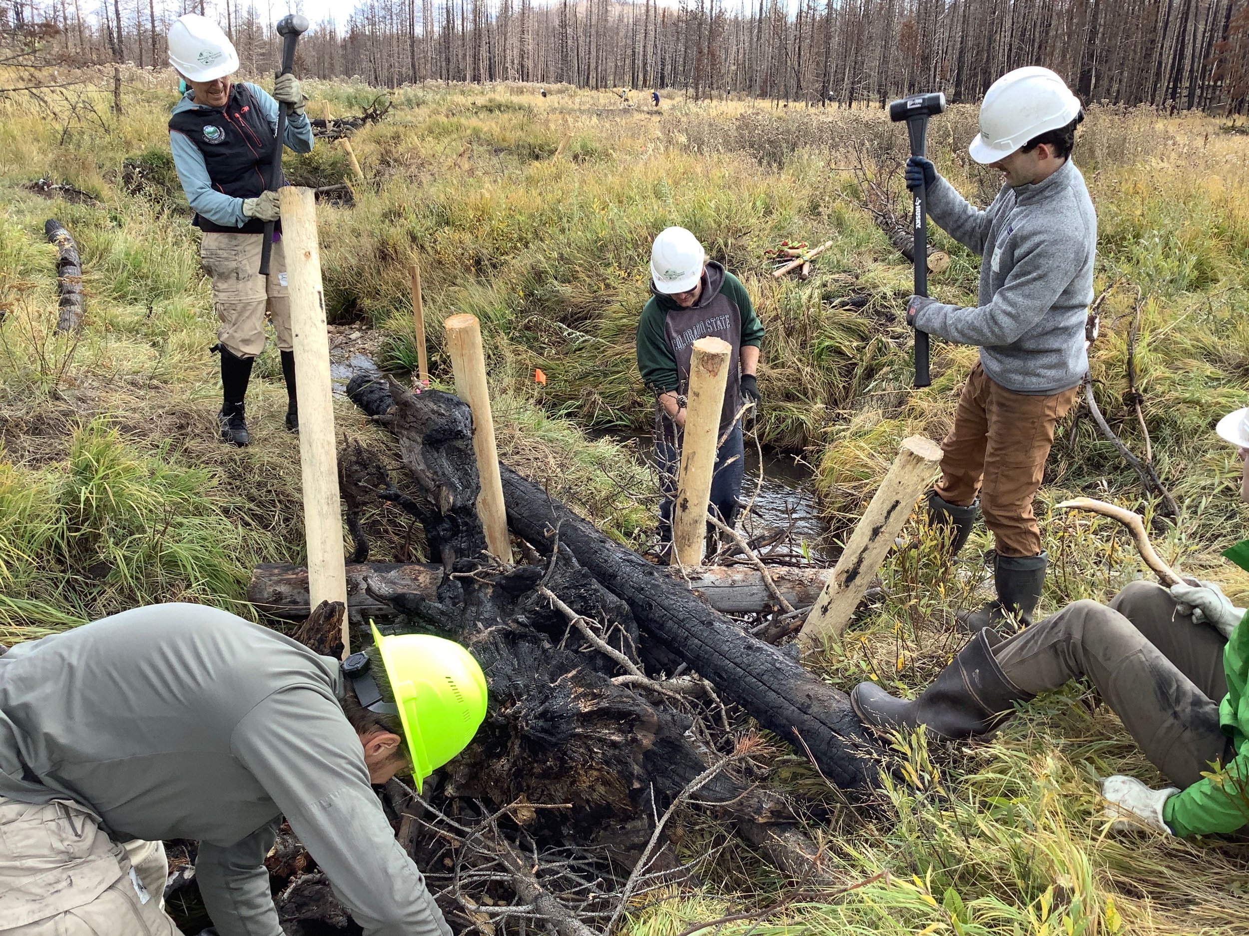
Post-Assisted Log Structure (PALS) – On-site woody material of various sizes was pinned together with untreated posts driven into the streambed to initiate and simulate natural wood accumulation. PALS provide opportunities for sediment storage behind the structures while promoting floodplain connectivity, additional wood recruitment, and riparian health. These features were field fit by the design team and placed to encourage sediment deposition. Placement utilized the relic beaver dams, where feasible, to reintroduce water areas behind the dams and promote riparian vegetation growth.
Riparian Revegetation - Recovery of riparian ecosystems is vital to improving water quality. Establishing woody riparian vegetation, primarily willows, increases the capacity for sediment storage, nutrient uptake, and habitat complexity in riparian and aquatic ecosystems. These willows are incorporated into the log structures and PALS to provide additional support.
Willow Wattle – Willow stakes are harvested off-site and bundled using biodegradable twine. These bundles are then partially buried and staked into areas with regular baseflow where willows would naturally grow. Willow wattles provide water quality improvements through rapidly establishing woody riparian vegetation to increase sediment storage and nutrient uptake.
Project Goals
Improve water quality and ecological functioning by providing opportunities for sediment storage, nutrient uptake, and enhanced aquatic and riparian habitats.
Improve stream processes in Elkhorn Creek that align with downstream Wild and Scenic recreation, aesthetic, fisheries, and aquatic habitat values in the Cache la Poudre River.
Use process-based restoration techniques to meet the project objectives.
Project Collaborators
U.S. Forest Service
Ayres Associates
Wildlands Restoration Volunteers
Alpine Eco
Funder(s)
Colorado Department of Public Health and Environment (CDPHE)
Project Timeline
Completed - 2022; Monitoring ongoing
Monitoring
To monitor the success of the Upper Elkhorn project, Dr. Ryan Morrison and his research team from Colorado State University, with support from the Transformation Network funded by the National Science Foundation, have been monitoring changes in sediment post-PALS installation. Specifically, his team has collected field data to determine the volume of sediment retained at the project site, the locations of where sediment was retained, and the sediment size.
The sediment size distribution within the entire reach became much finer, indicating the structures decreased flow velocity and stream power during high flows allowing finer sediments to be retained. The PALS reconnected the main channel to the floodplain, which allowed for flow to spread across the meadow creating more diverse habitats for various vegetation and riparian species as well as allowing sediment to be deposited on the floodplain.
Monitoring Techniques:
Sediment Probing
LiDAR: DEM of Difference
Wolman pebble counts
Results from 2022 -2023:
Sediment retention on the floodplain: 32,650 ft³
Sediment retention in channel: 2,224 ft³
Finer sediment size distribution
